Todd Amenrud | Originally published in GameKeepers: Farming for Wildlife Magazine. To subscribe, click here.

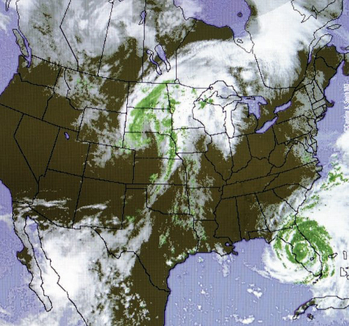
Taking some time to observe the different types of fronts and how they move can teach you much about predicting whitetail behavior. Fronts mark the border between warm air and cold. Watch the weather channel or use a weather app with a Doppler map where you can detect your location. Anticipate the front’s arrival. If the front is moving towards you, expect a change. It could be high pressure or low pressure, which will determine how it will change for you (cloud cover, rain or snow, thunderstorm or blizzard, or wind). The jet-stream, mountains and large bodies of water can change a front’s path, but there will typically be a pattern–the same type of front interacting with the same hindrance with typically act similarly.
 On a typical “weather map,” you’ll usually see lines that have triangles or semicircles on them (shown here). These lines point out a front’s boundary for different varieties of fronts:
Reading the Weather Map and What to Expect
Warm Front
A red line with semicircles on one side represents a warm front. Warm fronts usually bring increased rainfall as it draws near and then usually a speedy clearing and warming after the front passes. Winds with a warm front in the northern hemisphere are usually southwest to southeast. If the warm air mass is unstable, you may experience prolonged thunderstorms. Which side of the line the semicircles are on signifies the direction in which the warm front is heading.
Cold Front
Blue lines with triangles on one side represent cold fronts on a weather map. The direction the triangles point is the direction in which the cold front is moving. Winds tend to be north to west and rainfall can be torrential and wind speeds high. Cold fronts are stronger in the fall and spring transition seasons and usually weakest during the summer. When a cold front catches up with the preceding warm front, the portion of the boundary that does so is then known as an “occluded front.”
 Occluded Front
A purple line with semicircles and triangles both on the same side represents an occluded front, and like the other fronts which side they're on is the direction the front is heading. An “occluded front” is formed when a cold front overtakes a warm front. Occluded fronts usually form around mature low pressure areas. There are warm and cold occlusion fronts - in a cold occlusion, the air mass overtaking the warm front is cooler than the cool air ahead of the warm front, and plows under both air masses. In a warm occlusion, the air mass overtaking the warm front is not as cool as the cold air ahead of the warm front, and rides over the colder air mass while lifting the warm air. These fronts are often associated with thunderstorms, depending on whether it is a warm or cold occlusion. The passing of an occluded front usually brings drier air.
Stationary Front
A semicircle bordering one side and triangles along the opposite side mean the front is not moving in any direction. A stationary front is just as the name indicates a “non-moving” boundary between two different air masses. Neither air mass is strong enough to replace the other. These fronts often have long, continuous rainy intervals that may linger for long periods in one area and typically move in waves.