45-year-old Greg Hackney of Gonzales, Louisiana, is ranked in the Top 20 Bass Fishermen in the World. 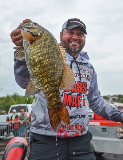
I’ve been asked many times how I GPS a school of bass. I know that some people drop a GPS waypoint on top of a school of bass. Other anglers GPS the spot where they want to hold their boat to cast to a school of bass. Some anglers GPS a site according to the current.
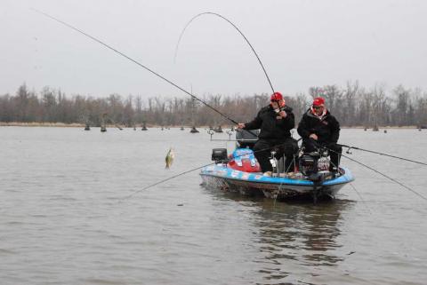
However, once I find a school of bass, I use my mapping system to drop a GPS waypoint where I want my boat to sit to fish that school. I like to keep my boat away from the school of bass I’m trying to catch. The closest I want to be to a school of bass is 20 yards, but I’d rather be further away from the school than just 20 yards.
Bass are like other wildlife – if they don’t know you’re in an area, or there’s no sign of your being in a region, they’ll act more naturally. Although bass can’t reason, they can be alerted by different sounds that an angler is near, or if anything’s unnatural in the bass’s environment.
For me, the further away from a school of bass I can be but still be able to catch them, the better chances I have for catching more bass out of that school. My rule of thumb is to stay as far away from the school as I can. I prefer to remain down current from the fish. However, if the water depth allows me to use my Power Poles, then the wind doesn’t play as much of a role as to where I hold my boat. I like to use Power Poles to keep me from blowing over the place where the school of bass is located. I use 10-foot blades on my Power Poles, which means I can hold my boat in 9 feet of water.
When I’m searching for bass, I may drift with the wind and cover as much water as possible. But then once I pinpoint a school and mark those bass, I may allow my boat to blow past the bass, go upwind and put my Power Poles out to hold my boat to enable me to fish with the wind to fish the school.


