Brandon Bobo | Mossy Oak ProStaff
I’ve found that my cell phone GPS is much more convenient for me to carry than a designated hand-held GPS receiver. By scouting in the early season and choosing my tree stand sites, I often can reach my stand site without having to use my GPS.
I like Google Maps and another mapping program called Avenza Maps. I can upload maps of the region I want to hunt, and Avenza Maps will send me back that map that’s GEO-oriented. (GEO helps you visualize how a measurement varies across a geographic area like a county, a state, etc.). The advantage to using Avenza Maps is once the maps are downloaded, including GEO references, I don’t have to have satellite service to use that map because those maps are stored in my phone. This map system conserves the battery life of my phone, and I don’t have to depend on having internet service to use this mapping system. This is the same mapping system that the U.S. Forest Service uses when it does a controlled burn. Much of the Forest Service land doesn’t have internet service. The map you receive is a PDF file that’s GEO-referenced, meaning every point on that map has a latitude and longitude reference.
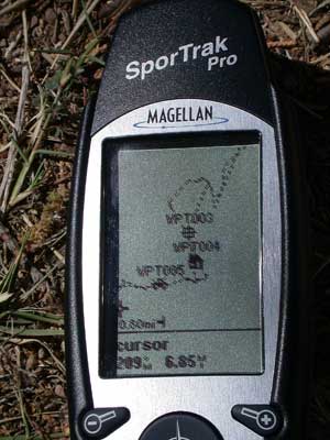 The cell phone map will show me where I am, where my stand site is, and where my vehicle is. Then I can get to any of those destinations and/or other stand sites that I’ve marked on that same map – all without internet service. I also can put a line on this map that shows me the trail(s) I want to take to each of my stand sites. I also note the wind direction that each stand is facing, and I may want to use a different way to get in and out of the stand, depending on the wind direction I have for that day’s hunt.
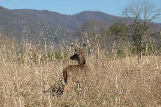
On any Forest Service land you want to hunt, the enforcement officer for the U.S. Forest Service is the best person to get information from on where to find deer, elk or any other game species you’re hunting. If there’s a state wildlife management unit or any public lands in a national forest where you hunt, the biologist of that WMA also has productive information about hunting there. Most of those folks will share that info with hunters.
I’ve learned that by getting to know these enforcement officers, they can be a tremendous help to point you in the right direction to find overlooked places where your chances are greatest for taking older-age-class bucks. They also already know where older-age-class bucks are taken each year. These resources can be extremely helpful during turkey season too, if you’re a turkey hunter.
One biologist told me, “We’ve been doing a burn close to our check-in station. I’ve been hearing lots of turkeys gobble in and around that fresh burn, but none of our hunters will hunt that location because they think it’s too close to the check-in station, and that few turkeys would be there.”
Most public-land hunters never talk to the state biologists and U.S. Forest Service biologists to get that kind of information. But I do, because I know they can provide the best and most current information. It’s good to make connections with those who work on public land. They’re a great resource for finding deer on public lands.


