Pulling the Drain Plug on a Sink Full of Deer
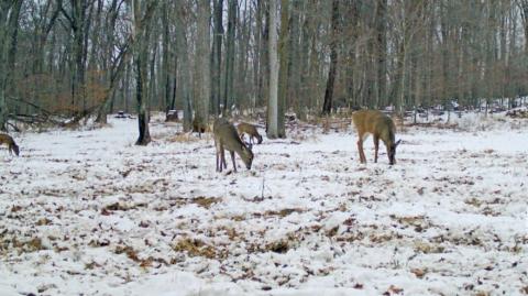
Much of choosing the proper stand site has to do with “structure.” In the same way that an angler finds the “spot on the spot,” the lay of the land and topography differences that restrict or “guide” movement are keys to stand placement. Whitetail travel from place to place using cover and terrain to their advantage. Learning to recognize the transition areas, access points, and travel corridors of whitetails is a crucial to choosing your ambush location. In fact, if you choose the right funnel during the chase phase of the rut it can seem like “God just pulled the drain-plug on a sink full of deer.”
One of the first things you should do when approaching a new spot is to obtain an aerial photo, satellite image or topographical map. The first spots to focus on are the funnels. It doesn’t matter if you’re hunting big timber, agricultural land or rural lots - there are funnels in your hunting area. With agricultural land and more populated areas funnels are easier located because of the sections and man-made dividers, but there are bottlenecks everywhere. Wherever you can restrict their movement to a smaller zone there will be more traffic and it’s easier to position yourself to remain undetected from their amazing sense of smell.
Many veteran hunters like to use a topographical map in conjunction with the satellite image or aerial photo. Obstacles that help to create funnels often aren’t as blatant as a river, swamp or vast open area; they can be simple, subtle terrain variations that guide a whitetail’s movement. But just like other creatures, whitetails travel the path of least resistance and the “topo-map” helps to locate these. Identify the areas whitetail frequent, learn to read the structure and key-in on the funnels and you'll begin to put more notches in your bow.


